
 ACTIVE INTEGRATION
National Weather Service + First Arriving
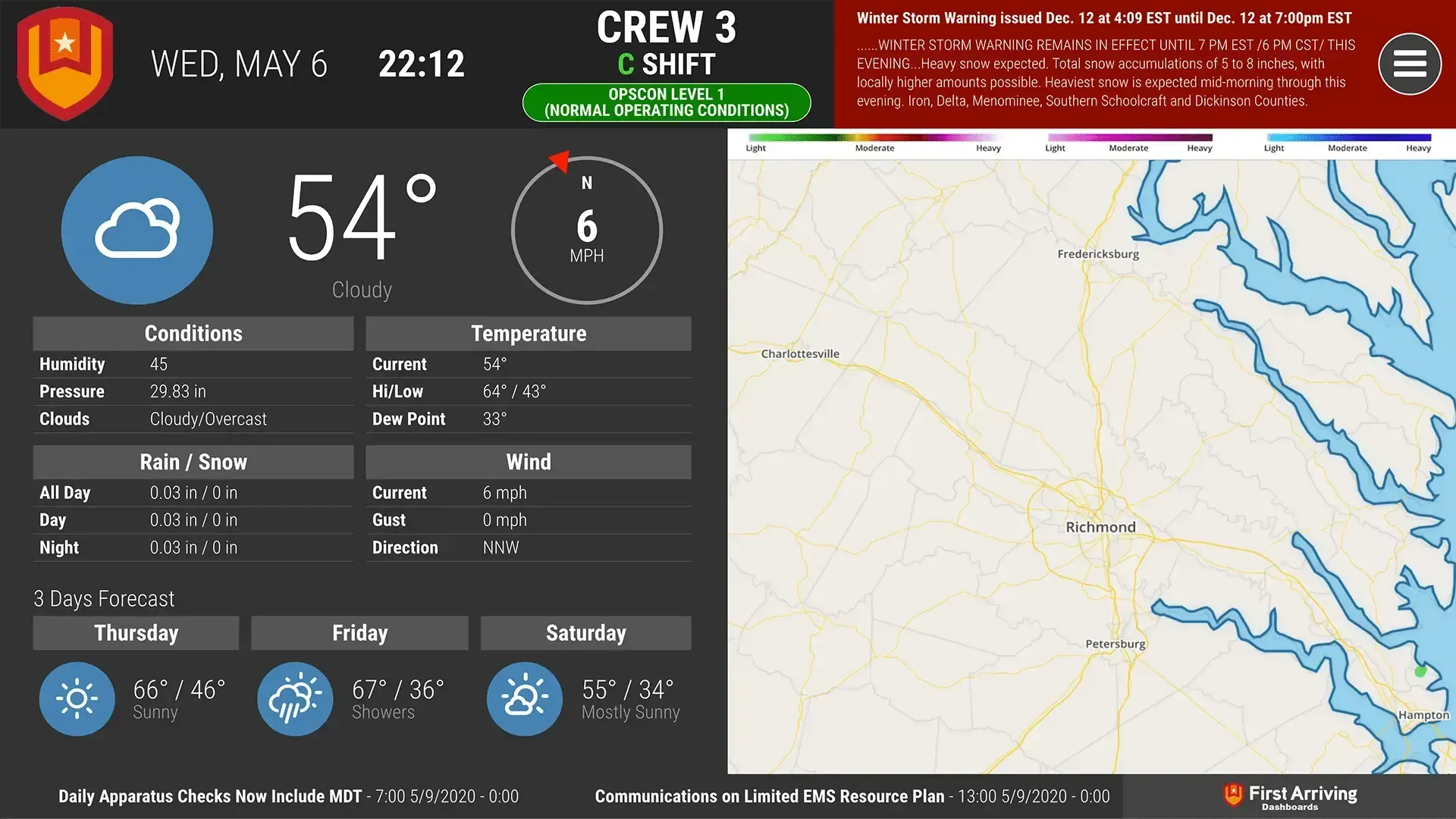
First Arriving brings National Weather Service advisories, warnings and river levels to your dashboards, on screens in your stations, workplaces and offices, on desktops and on the go. A recently issued alert shows at the top right on a red background to draw attention, and river data charts levels over the past few days.
What Connects
Your National Weather Service data on the wall, desktop, and in every pocket.
Weather advisories and warnings
Shown on the top right of the dashboard, with a red background to draw attention to a recently issued alert.
River level information
Chart of levels over the past few days, latest observed height and category, and date/time of last observation.
Sample Views
See it on the dashboard.
Live in two steps.
Give us your RSS feed link
Link to the RSS feed for the location you want to include. Find the correct feed by selecting your state at weather.gov's observed river data page.
Give us your tide chart link
Link to the tide chart you want to show, if applicable.
Frequently asked questions
What weather information shows on the dashboards?
Weather advisories and warnings, plus river level information. River data includes a chart of levels over the past few days, the latest observed height and category, and the date and time of the last observation.
How do crews know a new alert has been issued?
Advisories and warnings appear at the top right of the dashboard. A recently issued alert gets a red background to draw attention.
What setup is needed?
Give us the RSS feed link for the location you want to include; you find it by selecting your state on weather.gov's observed river data page. If applicable, also send the link to the tide chart you want to show.
Support Center
Full setup details for National Weather Service